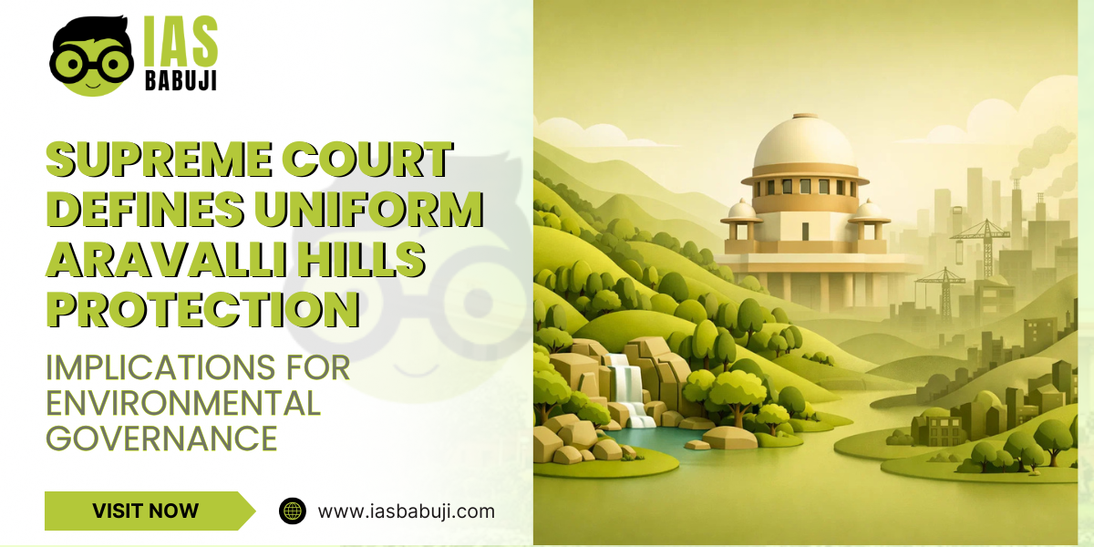
Supreme Court Defines Uniform Aravalli Hills Protection: Implications for Environmental Governance
The Aravalli Hills, one of India’s oldest mountain ranges, have historically acted as a natural ecological shield, protecting the northwestern plains from desertification and maintaining biodiversity. Over decades, rapid urbanization and unregulated mining have significantly degraded this fragile ecosystem. On 20 November 2025, the Supreme Court of India accepted a uniform definition to classify and protect the Aravalli Hills, particularly specifying that landforms rising ≥100 meters above local relief (lowest encircling contour line) classified as ‘Aravalli Hills,’ with ranges formed by hills within 500m proximity; bans new non-strategic mining leases until ICFRE Management Plan. This landmark decision has stirred debates on environmental governance, federalism, and sustainable development in India.
Background
The Aravalli Hills stretch across Haryana, Rajasthan, and parts of Gujarat, covering over 800 km. They play a critical role in:
- Ecological stability: Acting as windbreaks against desertification.
- Groundwater recharge: Supporting aquifers crucial for agriculture and drinking water.
- Biodiversity: Hosting several endemic species of flora and fauna.
Historically, state governments had varied definitions and protective measures for the hills, leading to inconsistency and loopholes exploited by mining and construction activities. Environmental activists and civil society groups repeatedly highlighted the need for a uniform protection standard.
Supreme Court’s Decision
The Supreme Court, in its November 2025 judgment, laid down key directives:
- Uniform Definition: Hills must be at least 100 meters above surrounding plains to be classified under protected the Aravalli Hills.
- Protection Measures: No new mining leases (except strategic/atomic minerals); existing legal mines continue post-inspection/CTO; no total industrialization/urban ban—focus on core zones (ESZs, wildlife areas, 500m buffers).
- State Accountability: States must demarcate hills using Survey of India toposheets (1:25K/50K scale) based on committee definition.
- Monitoring Mechanism: ICFRE to prepare district-wise Management Plan for Sustainable Mining (MPSM) assessing carrying capacity; states form Task Forces for monitoring.
This decision creates a clear benchmark, standardizes identification amid disputes; environmentalists criticize as only 8.7% hills qualify, exposing ~90% lower ridges.
Constitutional and Policy Implications
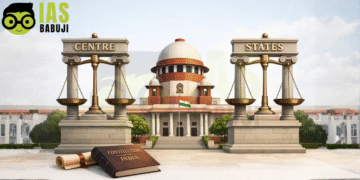
1. Federalism and Centre-State Relations
The ruling underscores the federal structure of India. While environmental protection falls under the Concurrent List, states enjoy autonomy over land and mining regulations. Judicial guidelines under Article 141; mining remains State List (Entry 23) subject with Concurrent List (Entry 17A) environmental oversight.
2. Environmental Governance
The 100-meter benchmark enables:
- Precise identification of ecologically sensitive areas.
- Better enforcement of environmental laws like the Environment Protection Act, 1986, and the Forest Conservation Act, 1980.
- Enables carrying capacity studies via MPSM; no direct urban planning mandate—focus on mining regulation.
3. Socio-Economic Considerations
While protecting the Aravallis ensures long-term ecological stability, it may affect short-term economic interests, particularly real estate and mining. The judgment emphasizes sustainable development, balancing ecological and economic priorities.
Challenges in Implementation
- Mapping and Surveying: Only 1,048/12,081 hills (8.7%) meet 100m threshold per FSI, raising concerns over lower ridge protection.
- Enforcement: Monitoring illegal mining, construction, and deforestation remains challenging.
- Public Awareness: Local communities must be educated on the ecological and socio-economic benefits of protection measures.
- Inter-State Coordination: The Aravallis span multiple states, making uniform implementation complex.
Significance for UPSC Aspirants
- GS-II (Polity & Governance): Highlights federalism, judicial intervention, and state-central dynamics.
- GS-III (Environment & Ecology): Examines biodiversity, land-use planning, desertification control, and sustainable development policies.
- Current Affairs Relevance: Provides an example of the judiciary shaping environmental policy, useful for mains answers and interviews.
Key Takeaways:
- The Aravalli ruling demonstrates the judiciary’s proactive role in environmental protection.
- It bridges gaps between policy, law, and science-based decision-making.
- Aspirants should link this case to larger issues like climate change adaptation, desertification prevention, and sustainable urbanization.
Way Forward
- Integrated Management Plans: Central and state governments must prepare and implement ecological restoration programs.
- Technology-Driven Monitoring: Use GIS and satellite imagery for real-time monitoring.
- Community Participation: Engage local populations in conservation efforts and eco-tourism initiatives.
- Policy Coherence: Align Aravalli protection with National Forest Policy (2018) and Environment Impact Assessment norms.
FAQs
Q1. Why are the Aravalli Hills important?
A1. They prevent desertification, recharge groundwater, support biodiversity, and maintain ecological balance.
Q2. What is the 100-meter rule?
A2. Landforms ≥100m relative elevation from local relief (including full slopes/foothills); ‘Aravalli Range’ = hills within 500m + interconnecting areas.
Q3. How does this ruling affect urban development?
A3. Bans new non-strategic mining leases till MPSM; core zones (protected areas/ESZs) fully prohibited; existing operations regulated.
Q4. Which states are affected?
A4. Primarily Haryana, Rajasthan, and parts of Gujarat.


